
We rise (mostly) with the lightening of the sky; there is little point in getting up before then as due to the changing season, the sunrise will not start until after 0600, there is no point in rising earlier, and inherent thoughtfulness for one’s neighbors prevent one from stirring for no reason.

The sunrise though, does not disappoint.

While we have the first cup of coffee (Via by Starbucks in the single serving; works remarkably well) we tear down our camp. It takes maybe ten minutes, but is quickly done – amazing how having little makes you quicker. After a round of breakfast sandwiches and topping off our water bottles, we continue down the Red Canyon.


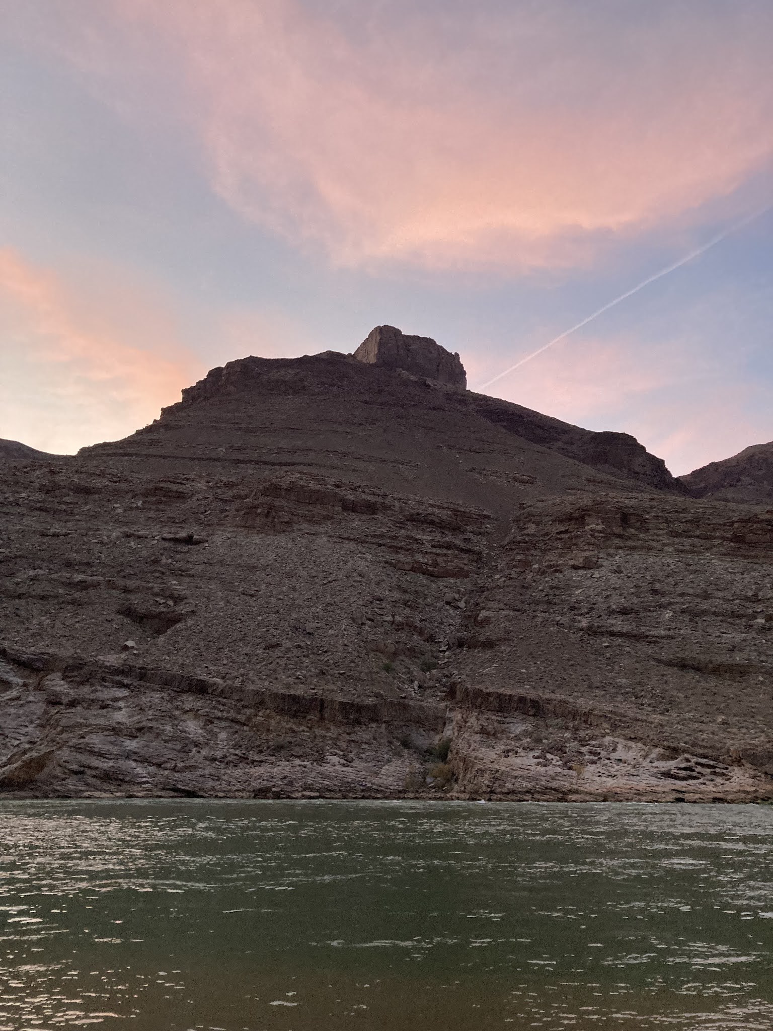
We are in a wash now, which gently slopes downward, the steep inclines and narrow trails of the day before a recent memory. As we continue on, a sound begins to break out, followed by a sighting. The Hance Rapids of the Colorado River are before us.

The River is wide and green colored, flowing swiftly but not so cold as the snow-fed rivers of my youth. It contrasts brilliantly against the backdrop of the Canyon walls.

We see some kayakers that pull up ahead of us and pull off, then troop down to look at the Rapids. We have a short conversation with them. They are kind and polite, asking how long we have been down and where we are going. This sort of conversation becomes the norm for the few people we see on the entire trip – two yesterday, the kayakers plus six more today and two tomorrow: there is a sort of shared communion among those in the Canyon that is different than that of the outer world.


After watching the kayakers take a crack at the Rapids – one succeeds, one fails and is overturned – we begin our hike up the River, weaving along its banks until we begin to pull away on what is now The Escalante Trail. The River will be the center of our universe for the next two days as we weave back and forth to its banks, the Escalante Trail our guide.

As we pull away, we continue to move inland until we reach the Papago Slide: a 200 foot or so rock slide from the Canyon wall, in which we come up halfway. We are to go up the Slide – a collection of rocks, scree, and dirt – and then cross over to the other side, where we will crawl down the Papago Wall.
We have to go in two groups; I stay behind with the second group as it is the slower group and I have decided to bring up the rear. We wait patiently for the first group to climb up; when we get the signal, it is our turn.
There are two theories in going up the Slide: go close together (to minimize the gathered speed of falling items) or to go far apart (to allow the dodging of falling items). We elect for the former and begin the climb.
Among my many fears, I have two: heights and unstable surfaces. The Papago Slide offers both in spades. Fortunately, I am spared the horror of constantly looking down: my face is directly looking at the slide before me and the feet and hands of the climber before me. I am forcing myself to lean forward into the slide, trying to counterweight the backpack which I imagine to be much heavier than I think, ever sensitive to the potential of the surface below me shifting. Slowly, we crawl from rock to rock and move up the Slide – until 100 yards later and perhaps 10 minutes (it certainly seemed longer) we emerge on the top and slowly make our way across the wall to the Papago Wall.

The Papago Wall, by contrast, holds little fear at this point: with the careful placement of hands and feet, it is relatively easy to conquer. A challenge which in my mind would have insurmountable before is a moderately tame inconvenience.

We continue on a bit in the hike until we reach 75 Mile Canyon, so named as it is at the 75th mile on the River.


The Canyon is a slot canyon, a narrow version of the water action that we see writ large before us overhead. In it, one can directly see the smaller application of the larger geologic forces around us.


We make our way back in it, slowly wending and winding our way up until we arrive at the end of the Canyon, where we have to go up and out. We work our way back along the top of the Canyon we just walked through – even with this, we are 30 or more feet above the floor.


After another gentle descent, we end at Escalante Beach.

Escalante Beach is not like other river beaches I can recall, small spits of rock or coarse sand: this is a white sandy beach with green water and waves rolling up to its shore, the equal of any good ocean beach I have seen. This will be our stop for the night.

After setting up their tents, some members of our party hop into the River for a swim or at least a rinse – although almost everyone immediately hops back out as well; the River is a bit cool. I have failed to bring shorts or a swim suit (but should do so next time); I content myself with dangling my feet in the River.

Dinner tonight is fajitas, which taste delicious – as does everything on this trip; hunger, as the Irish say, makes a fine sauce. We again go around in a circle to call out our wins and losses; almost everyone is excited that they conquered the Papago Slide. I am as well, although I start out by again mentioning the fact that I, once again, did not die.

Again tonight, we have a clear sky of bright stars, but it is combined with a river provides background noise not in the form of waves on the shore, as I am used to on the ocean, but rather a constant steady motion and roar in the background.
Rain, if you will, except on a grander scale.
I'm guessing that coming up to that beach was quite a treat after the day's adventure.
ReplyDeleteMore nice photos of your hike. Thanks for including them. My local land is very flat, but I've been advised when hiking slopes, try and keep your weight directly over your feet as much as possible, taking small steps both up and down. Most feel (as do I) more potential for falling on descent. You can test the step going up, going down you go on faith you won't slide.
ReplyDeleteThanks again for description and photos.
Anonymous - That makes sense. To be honest, in going down I was actually leaning a bit back and to the right, so that the pack would not pull me over and if I fell it would be on the cliff going up, not the side going down. Having never done this much "down" before, it was a new experience.
DeleteYou are quite welcome. It is a joy to be able to do so.
When I did my trip in 2000, it was shortly after they started doing those massive annual water releases down the canyon. The guides talked a lot about how bad it was camping along the river before then as the beaches were non existent and the "pissweed" had taken over everything. After the water releases, the weeds were controlled and beaches formed.
ReplyDeleteAlthough my outfit provided a tent for me, I never slept in it once all month. I preferred just to sleep in my sleeping bag outdoors. So once getting up in the morning and stuffing my bag into it's nylon shell to prevent scorpions from inhabiting it, I was essentially packed and ready to go and often spent my mornings by the camp kitchen watching the sunrise and everyone else stirring in their tents.
Ed, our guides commented that the storms within the last year had destroyed the beaches, but they had been able to recover since then.
DeleteI kept my items in the tent with me (except for the backpack frame of course) with the very thought of scorpions in mind (although we did not see a single one).
It is certainly a wonderful place for watching sunrises.
Forgot to mention, I'm pretty sure 75 Mile Canyon was one of our side hikes on that trip.
ReplyDeleteI would be so. My impression is that it is a known landmark, and pretty accessible from the River.
Delete